Aerial Views of Maybole [ Home ] [ Up ] [ Photo Galleries ] [ Town Guides ] [ Notables ] [ Community ] [ News ] [ Places ] [ History ] [ Search ] [ Contact Us ]
Aerial view of Maybole. Click on the photo below for larger image. Photo below contributed by David Law.
See also the aerial views now available from Google Maps UK
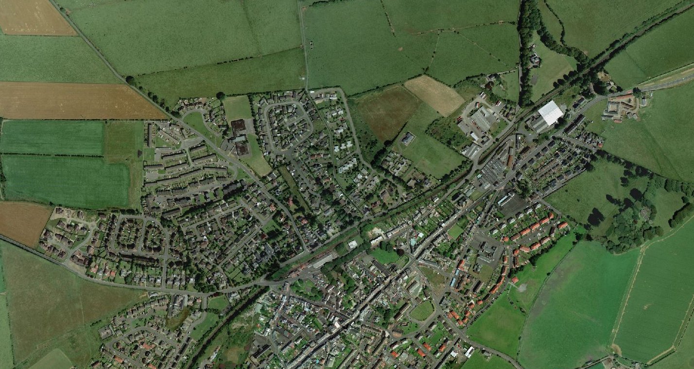
Aerial view of Maybole 2005. Click on the photo below for larger image.
Below: Aerial view of Maybole in the 1950s. Click on the photo for a larger image. Contributed by Jim Millar
See also the maps page.